
Remote sensing brings transforms the Global climate change and natural resource degradation that is challenging food security around the world. The abundance and quality of remote sensing applications with higher spatial and temporal resolution data are expeditiously growing. Remote sensing has the maximum potential in filling up the data gaps. It also supports sustainable agriculture under climate change and natural resource degradation.
As global demand for food is increasing, the need for sustainable agriculture enhanced. Remote sensing of crops has been promoted as a valuable tool for real-time crop health monitoring.
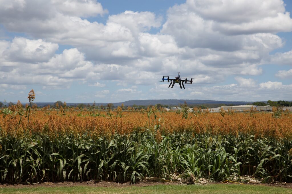
Our research uses satellite imagery on cotton crops. This research is conducted on monitoring the development process of cotton by predicting crop health, assessing of water demand, developing vegetation, and crop mapping. Also, ensuring crops receive the optimal amount of fertilizer, at the right time. Remotely monitoring crop physiological traits using drones or satellites offers the possibility of guiding both the timing and precise location of fertilizer application. By using satellite imagery it is possible to achieve better crop yield prediction.
Recent advances in the use of such data to monitor croplands and estimate yields provide an unprecedented opportunity to improve management practices and enhance food security while minimizing the negative impact on soils, water resources, and ecosystems.
Author: Hanifa Jamil